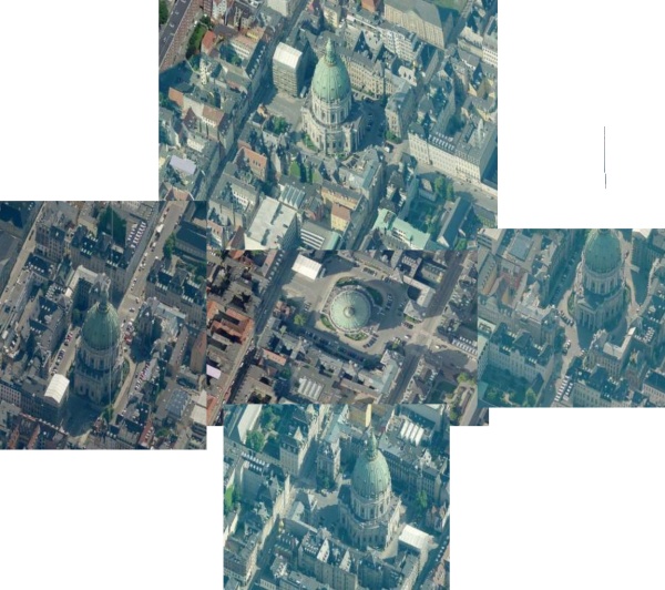
Blom just announced the release of their BlomURBEX (Urban Explorer) SDK. It includes access to high resolution ortho and SEAMLESS birds eye imagery of over 1000 european cities. These are the same images as Microsoft uses on the Virtual Earth platform, but the unique is that they have managed to seamlessly stich the birds eye imagery together seamlessly, making the navigation much more intuitive.
They also released a free iPhone/iPod Touch app "Demyko" that can be used to navigate ortho images and North/South/East/West facing oblique imagery with the touch of a finger. I can´t say I like the fancy way they show the tiles (they rotate in), but the dataset is impressive.
Read the full press release here.
